AIReSVeg: AI and Remote Sensing for Vegetation Monitoring
About
Changes in land use, climate, and extreme weather events are transforming ecosystems and threatening the ability of vegetation to provide critical ecological functions. To address these challenges, AIResSVeg focuses on developing advanced tools to monitor and analyze vegetation dynamics, enabling better understanding and management of biodiversity and ecosystem health.
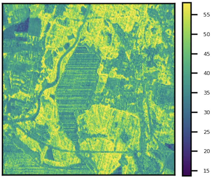
Using a combination of hyperspectral imaging and high-resolution spatial data, AIResSVeg employs Convolutional Neural Networks to create methods for identifying key vegetation traits. These traits serve as indicators of ecosystem conditions and are designed to work across diverse vegetation types in Central Europe and over varying seasons. The approach provides the standardized basis for meaningful ecological insights.
The project’s outputs include detailed, interpretable vegetation maps with improved spatial resolution and accuracy compared to traditional methods. These tools will aid ecological research, conservation planning, and compliance with EU biodiversity programs such as Natura 2000. By integrating cutting-edge AI with ecological monitoring needs, the project aims to advance sustainable land management and biodiversity protection.
Data
- EnMAP
- Sentinel 2
- TRY
- sPlot
- Own fieldwork
Publications
- Mederer, D., Feilhauer, H., Cherif, E., Berger, K., Hank, T. B., Kovach, K. R., … & Kattenborn, T. (2025). Plant trait retrieval from hyperspectral data: Collective efforts in scientific data curation outperform simulated data derived from the PROSAIL model. ISPRS Open Journal of Photogrammetry and Remote Sensing, 15, 100080.
Team
- Daniel Mederer (Leipzig University, Germany)
- Hannes Feilhauer (Leipzig University, Germany)
- Teja Kattenborn (Freiburg University, Germany)

Source: Cherif et al., 2023; https://github.com/echerif18/multiTraitPredictions

